3 Day Tanzania safari
Visit: Tarangire and Ngorongoro
View
Visit: Tarangire and Ngorongoro
View
Visit: Tarangire, Manyara and Ngorongoro
View
Visit: Tarangire, Serengeti and Ngorongoro Crater
View
Visit: All Northern Tanzania parks
View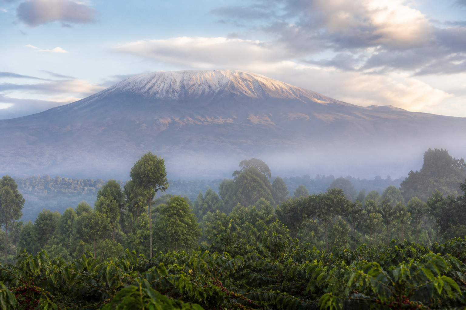
Visit: Serengeti, Ngorongoro and Tarangire
View
Visit: Serengeti and the Mara River crossing
ViewTell us dates, travellers and style. A safari specialist replies from Arusha.
Visit: Stone Town, spice farms and the coast
View
Visit: Tarangire and Ngorongoro after the beach
View
Visit: Tarangire, Serengeti and Ngorongoro Crater
View
Visit: Northern circuit then Zanzibar retreat
View
Visit: Premium lodges and a Zanzibar stay
View
Visit: All Northern Tanzania parks
ViewTell us dates, travellers and style. A safari specialist replies from Arusha.
Marangu, Machame, Lemosho, Rongai and Umbwe routes
View
4-day trek on Tanzania’s second-highest peak
View
3-day climb of the Maasai Mountain of God
ViewTell us dates, travellers and style. A safari specialist replies from Arusha.
Northern circuit parks, Kilimanjaro and the coast
View
Masai Mara, honeymoon and family safari extensions
View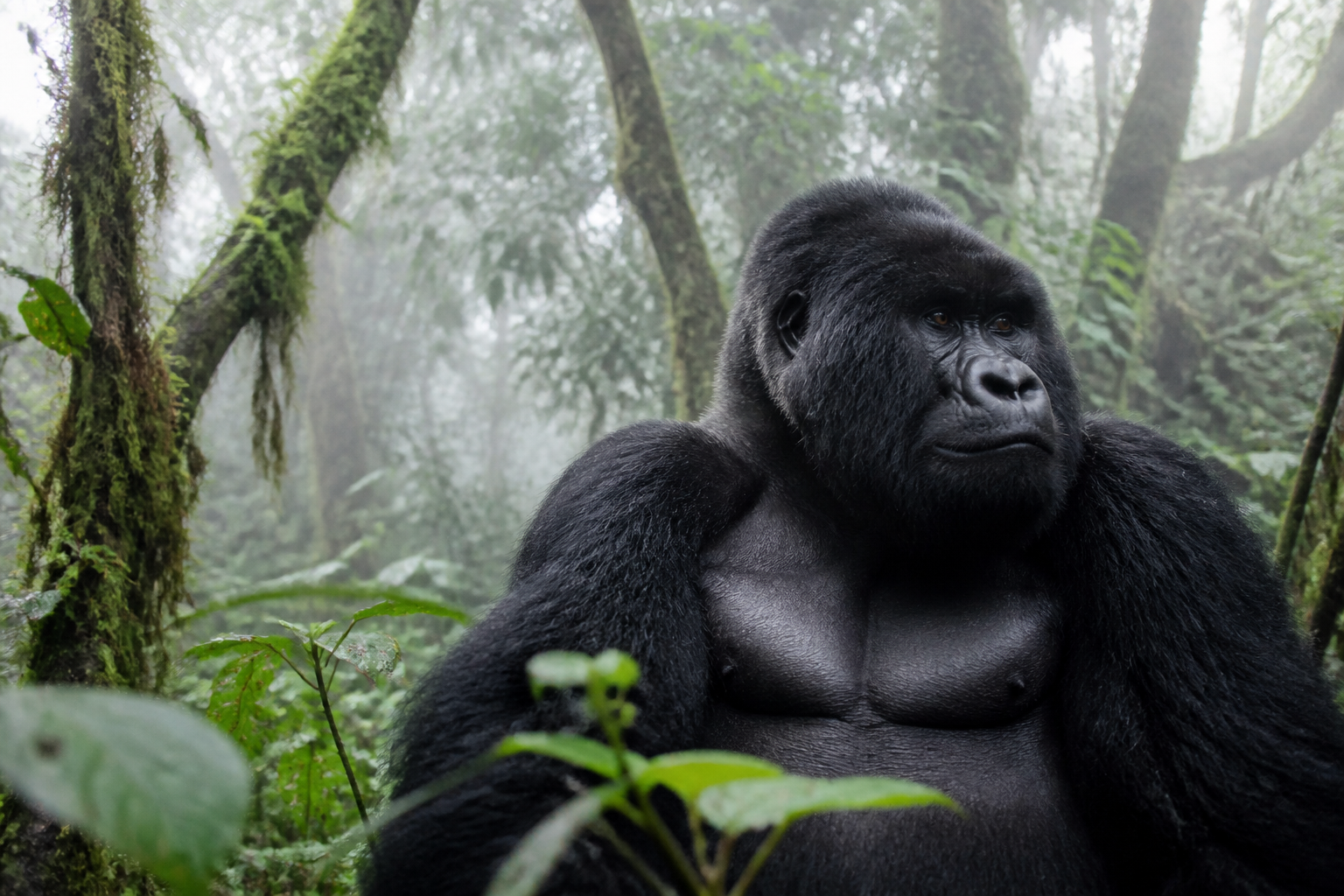
Gorilla trekking and the Pearl of Africa
View
Stone Town, spice farms and beach stays
View
Parks, packing, visas, climate, health and Kilimanjaro
ViewTell us dates, travellers and style. A safari specialist replies from Arusha.
6 Days Rongai Route Mount Kilimanjaro - A true trekking and mountaineering paradise 6 Days Kilimanjaro Trekking Rongai Overview This 6 days Rongai route offers a unique and less crowded approach to Mount Kilimanjaro’s…
The illustrated map shows this itinerary at a glance. Open the live map to follow real roads, with a Land Cruiser on game-drive legs and a plane on flight transfers.
Every package has a shareable digital itinerary: overnight notes, the route, and a print-ready PDF view.
6 Days Rongai Route
6 Days Kilimanjaro Trekking Rongai Overview
This 6 days Rongai route offers a unique and less crowded approach to Mount Kilimanjaro’s summit from the northeastern side of the mountain. Starting from the Tanzanian village of Nale Moru, this route traverses through diverse landscapes, including lush rainforests, moorlands, and alpine deserts, providing captivating scenery along the way. The gradual ascent allows for better acclimatization, making it suitable for those seeking a less strenuous climb. While generally considered one of the easier routes, its varied terrain and stunning vistas make it a rewarding adventure. The trek typically takes 6 to 7 days to complete, providing ample time for acclimatization and enjoyment of the journey.

Rongai Route Map

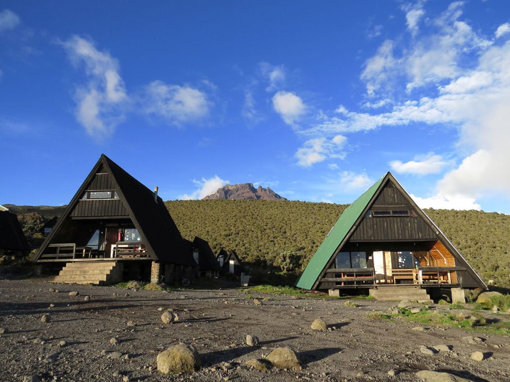
Elevation: 1997m/6552ft to 2635m/8645ft Altitude gained: 638m Leaving from Arusha, a journey of 4 to 5 hours will lead you through the coffee plantations and Village of Nale Muru to the Kilimanjaro National Park Gate. There, we'll await the issuance of our permits while observing the bustling activity as various crews prepare for the upcoming journey. Revel in the picturesque wooded scenery and winding trails as your guide enlightens you about the local flora, fauna, and wildlife you may encounter. Simba Camp is situated close to the first cave on the periphery of the moorland zone, offering breathtaking vistas of the plains of Kenya.

Elevation: 2635m/8645ft to 3487m/11,440ft Altitude gained: 852m Following a restful night's sleep and a satisfying breakfast, we proceed along moorland terrain, steadily ascending. Along the way, you'll be treated to magnificent vistas of Kibo and your initial glimpse of the ice fields on the Eastern crater rim. As you approach the Second Cave, the sparse shrubbery of the moorland gradually diminishes. Expect temperatures to decrease as you continue your ascent.

Elevation: 2635m/8645ft to 3936m/12,913ft Altitude gained: 449m Following breakfast and completing your packing, you resume your gradual ascent, transitioning into the semi-desert landscape. This day's hike, though relatively short, brings you nearer to the captivating Eastern ice fields, which consistently captivate with their splendor. It's crucial to remain attentive to your body's signals and promptly communicate any indications of altitude sickness to your guide.

Elevation: 3936m/12,913ft to 5174m/16975ft Altitude gained: 1238m Leaving the semi-desert zone early in the morning from the Third Cave, you venture into the Alpine Desert terrain for the rest of your ascent. Today's hike brings you to the vicinity just below the Kibo crater wall, where you'll find the Kibo Huts. Here, you'll intersect with the Marangu Route, which you'll follow for the summit climb. Before retiring at 7 PM, ensure to organize your clothing and equipment, including replacing batteries for your headlamp and camera, and aim to rest for a few hours in preparation for your summit attempt.

Elevation: 5174m/16975ft to 5895m/19,341ft Altitude gained: 721m Descent to 3721m/12,208ft Altitude lost: 2174m As dawn breaks, we embark on the most challenging leg of our journey towards the summit of Mount Kilimanjaro. With each step, we persevere, fueled by the anticipation of reaching Uhuru Peak, Africa's highest point. As the sun paints the sky with hues of gold, we pause briefly at Stella Point before pushing forward through the snow-covered final stretch. Congratulations, you've conquered Uhuru Peak! After celebrating this remarkable achievement, we begin our descent to Mweka Camp, where a well-deserved rest awaits. Remember your gaiters and trekking poles for the challenging terrain ahead.

Elevation: 3721m/12,208ft to 1905m/6250ft Altitude lost: 1816m Following breakfast and a sincere ceremony of appreciation and team bonding with your crew, it’s time to bid farewell. We commence the descent, pausing at the Mandara Huts for lunch. It's important to remember to tip your guides, cooks, and porters before leaving them here. Upon reaching the Marangu Park Gate, you'll receive your summit certificates. Given the considerably warmer weather, the terrain becomes wet, muddy, and steep, so we highly recommend wearing gaiters and using trekking poles. A vehicle will be waiting at the gate to transport you back to your hotel in Arusha.